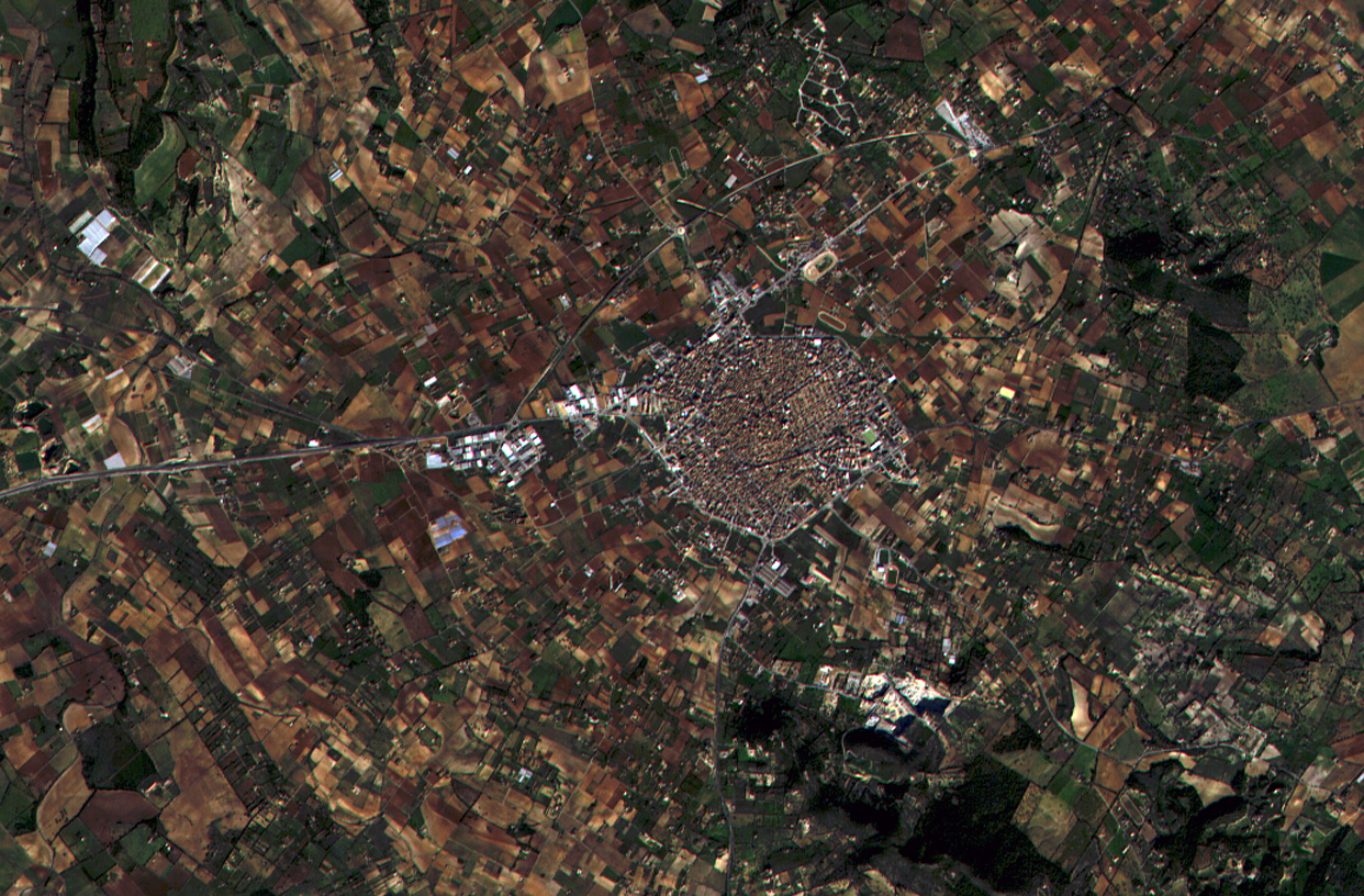
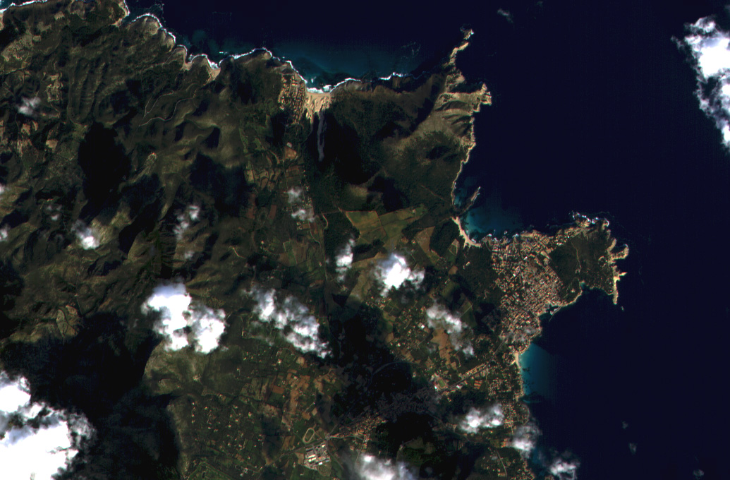
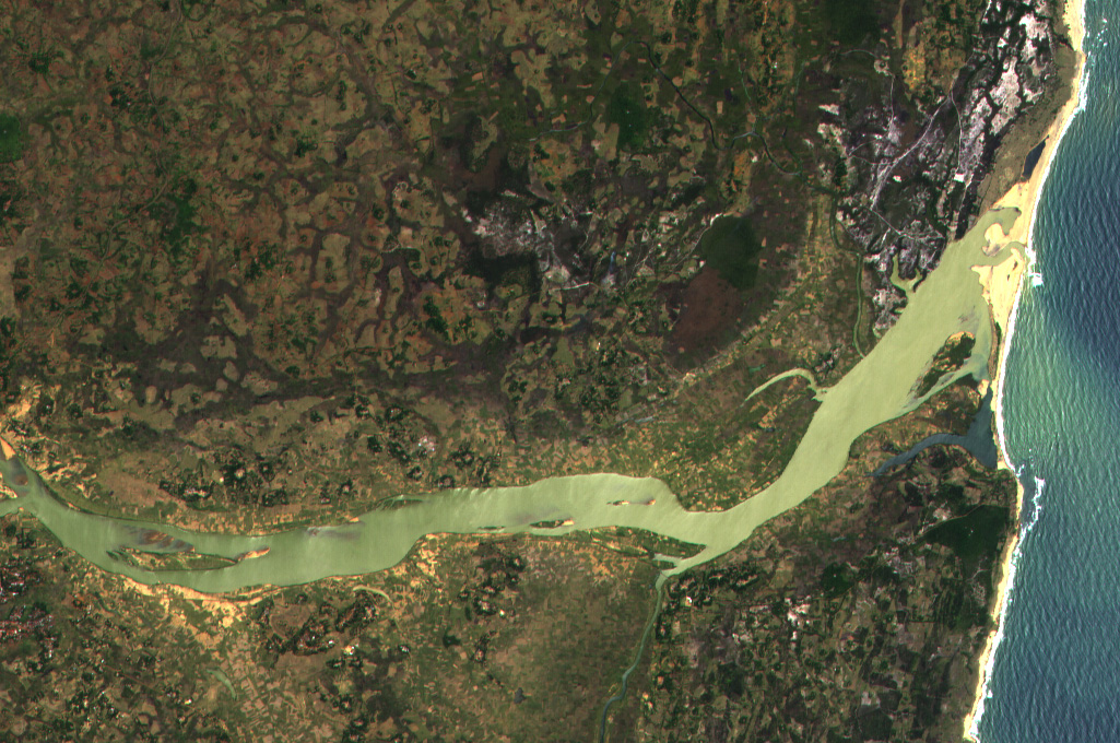
 Our Satellite Rapid Response System catalog has reached the incredible amount of 550.000 satellite images!!! After 7 years of uninterruptible service we stored more than half million of images including ESA missions like ASAR and MERIS, NASA instruments like MODIS and VIIRS, EUMETSAT mission AVHRR and CSA SAR images from Radarsat2. If you want have […]]]>
Our Satellite Rapid Response System catalog has reached the incredible amount of 550.000 satellite images!!!
After 7 years of uninterruptible service we stored more than half million of images including ESA missions like ASAR and MERIS, NASA instruments like MODIS and VIIRS, EUMETSAT mission AVHRR and CSA SAR images from Radarsat2.
If you want have a look, follow this link:
Satellite Rapid Response System
 We are busy developing our incredible new Sentinel processors for data from S1/CSAR (C-Band SAR Instrument), S2/MSI (MultiSpectral Instrument) and S3/OLCI (Ocean and Land Colour Instrument). In the meantime, we are proud to announce the availability of two new SRRS processors: – MetOp AVHRR/3 (Advanced Very High Resolution Radiometer) – SuomiNPP VIIRS (Visible Infrared Imager […]]]>
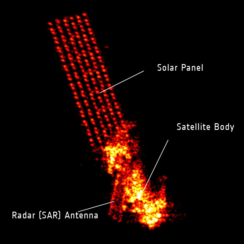 After 10 years of service, Envisat has stopped sending data to Earth. ESA’s mission control is working to re-establish contact with the satellite. Although this landmark mission has been in orbit twice as long as it was designed for, ESA hopes to keep the satellite in service until the launch of the successor Sentinel missions. […]]]>
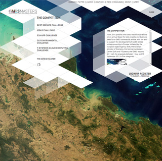 From 2011 onwards the GMES Masters will reward on an annual basis the best projects and business ideas for a GMES commercial service, with the aim to support the development of GMES related entrepreneurship in Europe. Initiated by the European Space Agency (ESA), the Bavarian Ministry of Economy, the German Aerospace Center (DLR) and T-Systems, […]]]>
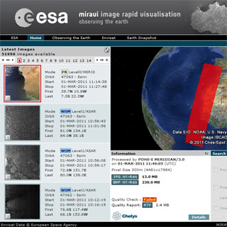 ESA has signed the Miravi upgrade contract. The new version, installed 28 February 2011, now includes support for processing ASAR Level1 products as well as a renewed MERIS Level0 processor, which has improved geolocation accuracy that reaches sub-pixel resolution. The Miravi web interface has also been redesigned, and now offers support for the Google Earth […]]]>
 ]]>
]]> ]]>
]]> ]]>
]]> ]]>
]]>